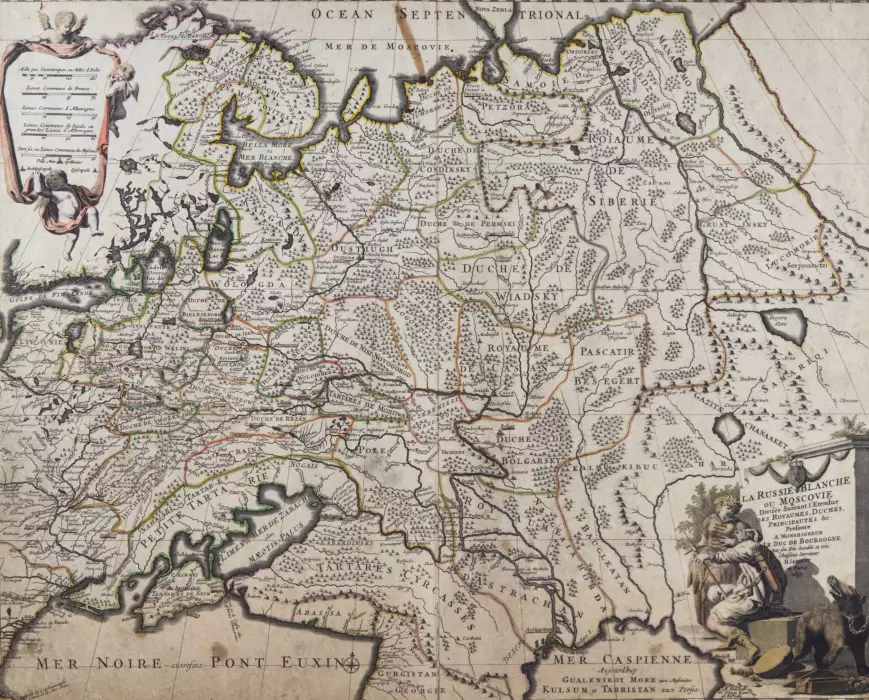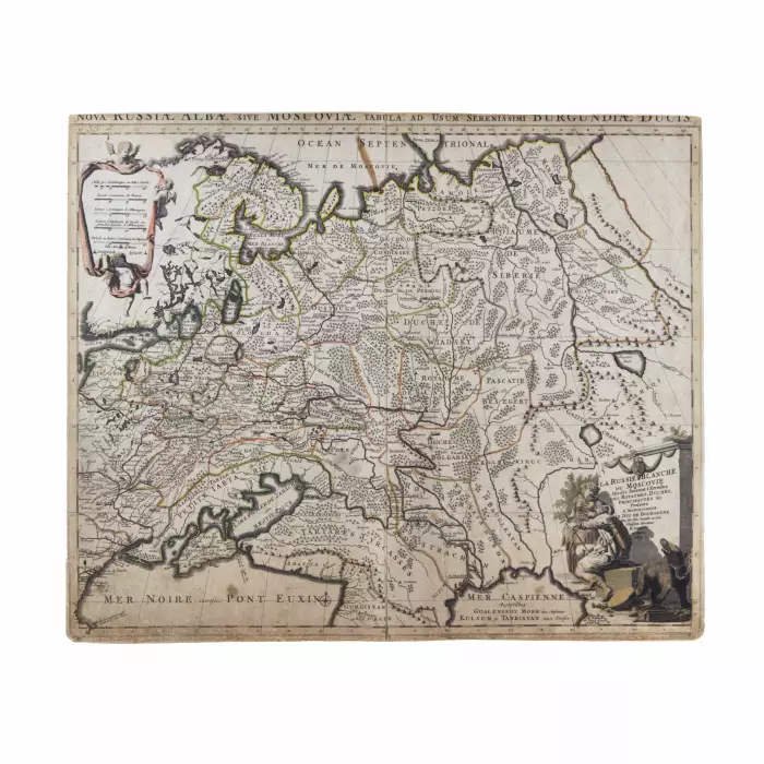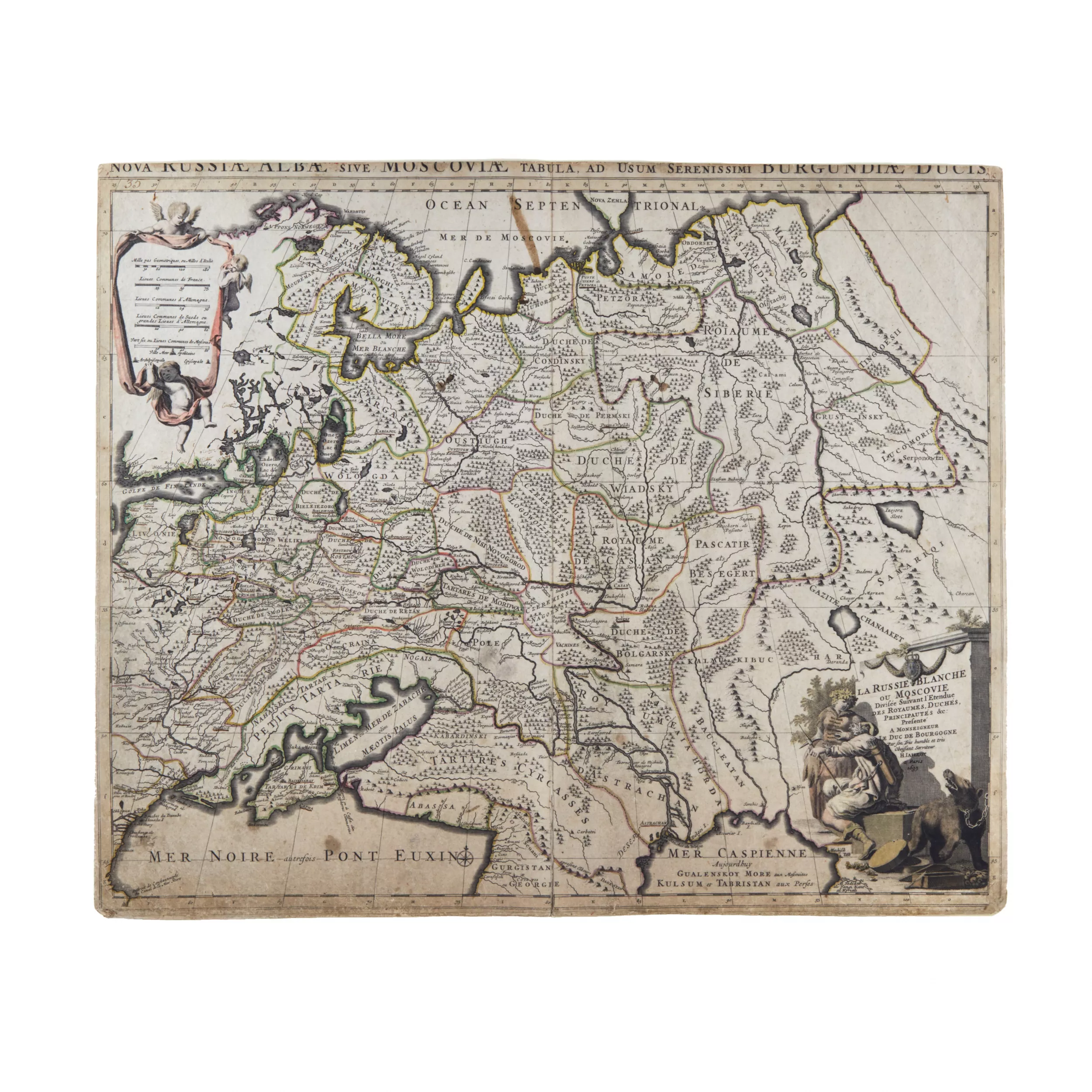


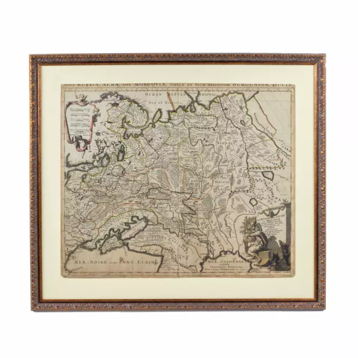
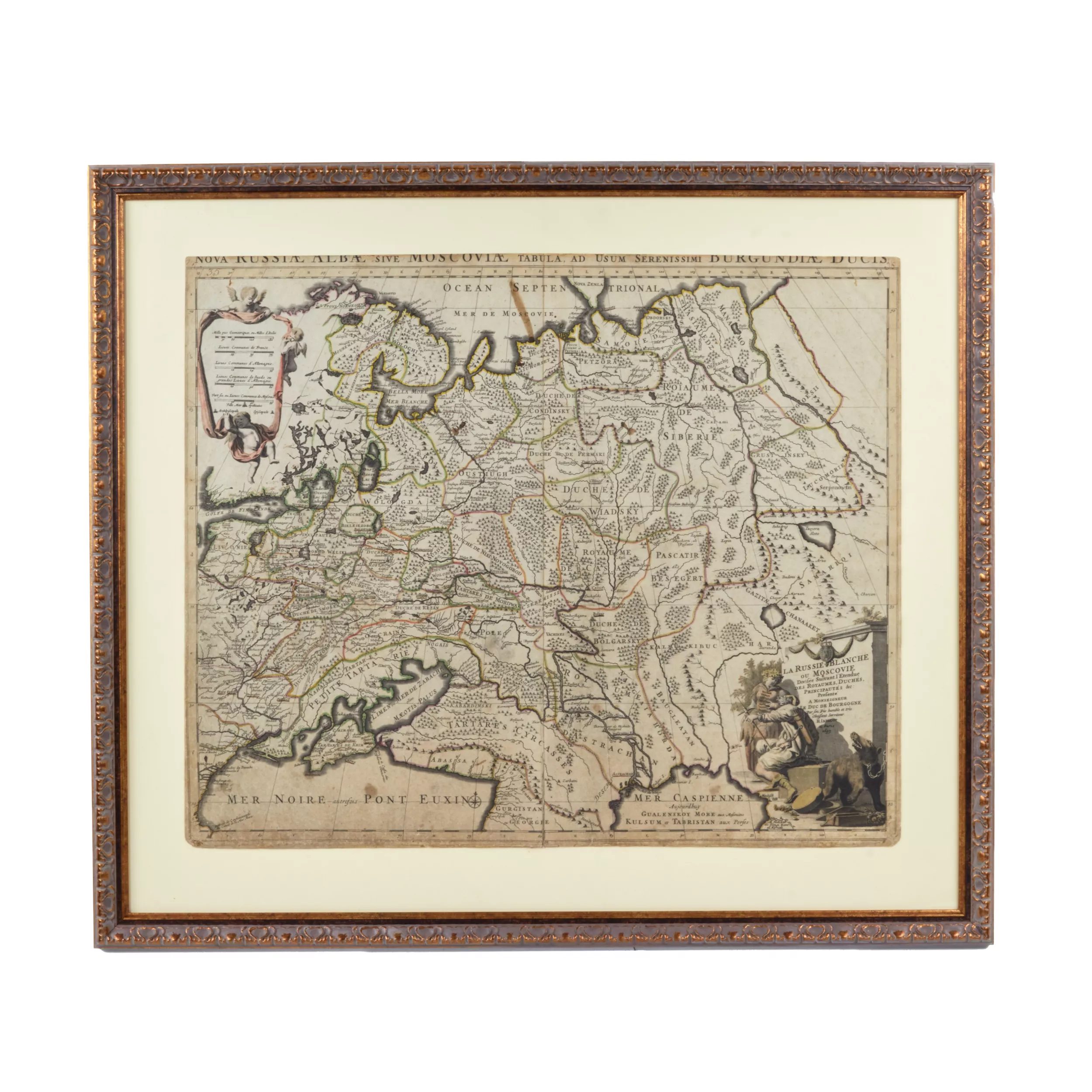
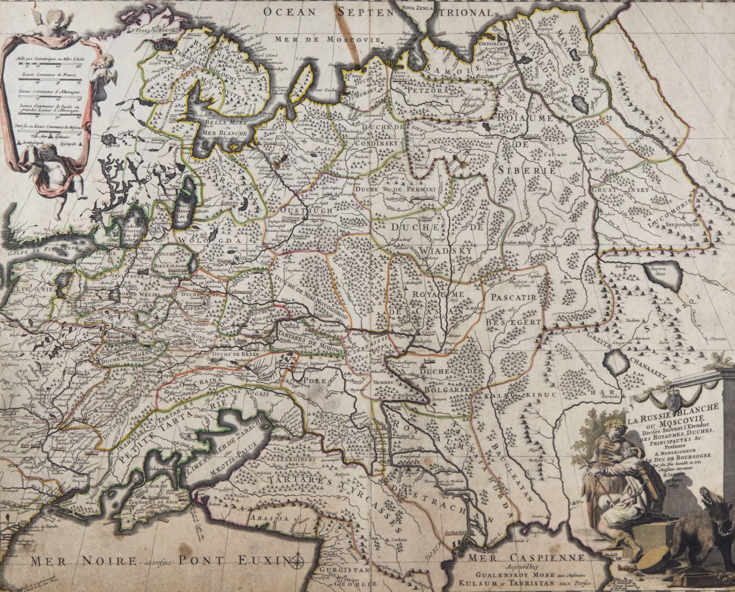
Map of Russia at the end of the 17th century.

Map of Russia at the end of the 17th century.

ID-ANTQ-5669
December 7, 2024 10:00 AM GMT+02:00
Live auction is finished
Estimate
100 - 120 EUR
Lot Sold
100 EUR
 
5 bids
Lot sold
Use our cost calculator

Discover how the value of similar works has evolved over the past 10 years. Art is not only beauty — it's an investment.

Map of Russia at the end of the 17th century. JAILLOT, HUBERT, Nova Russiae albae sive Moscoviae ... La Russie Blanche ou Moscovie. Amsterdam (Mortier) late 17th century. Colored engraved map. Dimensions of the card: 50x60 cm.
Material:
Engraving
Width:
103 cm
Material:
Height:
72 cm
Art:
russia
Depth:
2 cm
Period:
The end of the 17th century
Country:
Russia
Condition:
Revive
Fair
Good
Very good
Like new

The condition report is provided for informational purposes only.

It is not comprehensive and may not reflect all defects, restorations, alterations, or adaptations, as Antiqon does not perform professional conservation-level assessments. The information is based on a qualified, yet subjective, evaluation by our specialists.Before purchasing, we recommend consultation with an independent expert.Please also consult our Terms and conditions and Glossary A-Z, which contain important information on lot characteristics and sale conditions.
Stay up to date with new arrivals
Save Maps and we let you know when new listings appears in this category

Related items

Latest views